During their different journeys of the MEMORIA Norway project, SpringerParker will update the Logbook on a regular basis.
It documents their route and events in forms of on location photos and descriptions sent directly via the mobile phone to this website.
Clicking at the geographical data to the left of the entries lets you follow their route on the map.
EXPLORATION WINTER (March–April 2009)
Mar-30-09 - 12:14
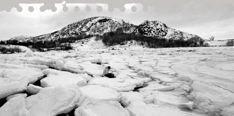
Short break in Östersund
We arrived in the middle of the night and left in the morning.
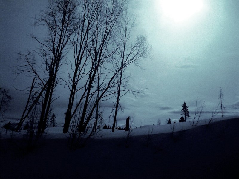
Mar-29-09 - 23:45
What's tooth got to do with it
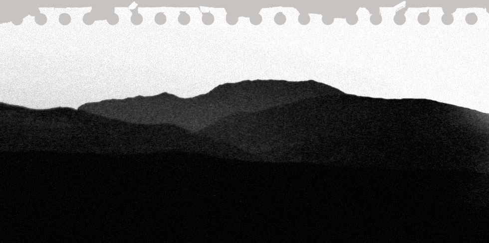
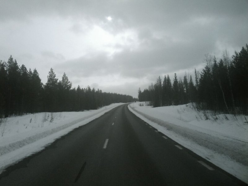
It is now official: Springer is able to sense upcoming snowstorms with one of his teeth. Apparently, that does not help very much in the middle of nowhere, but gives a 5 minutes advantage to fetch the GPS signal with the Google Phone and take a snapshot. Done.
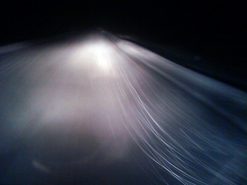
Mar-29-09 - 22:38
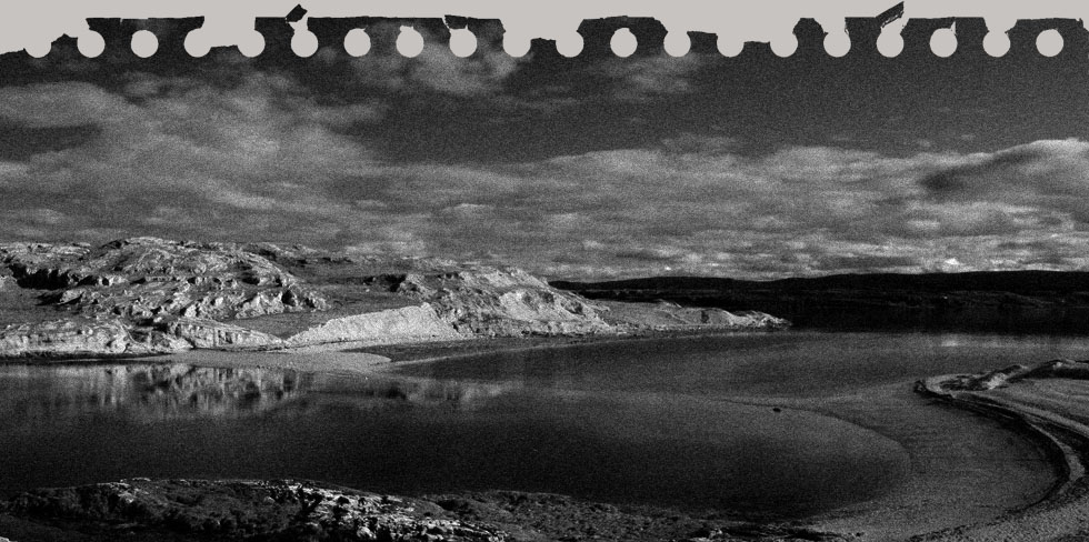
Red roads
In some regions they have red colored roads, which makes you feel like driving on somebody's carpet. The surface is rougher and provides a better grip. When only slightly frozen it appears red from the distance, but when driving closer, due to the changing angle, the road seems to instant freeze right in front of the car. Amazing!
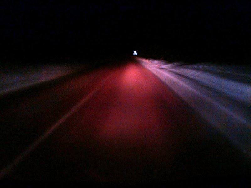
Mar-29-09 - 13:25
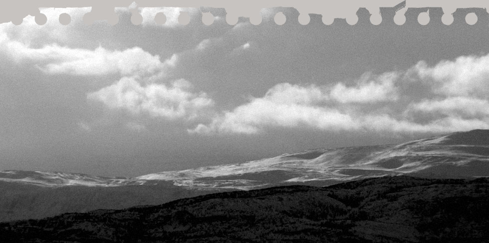
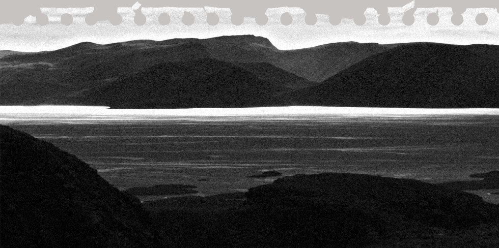
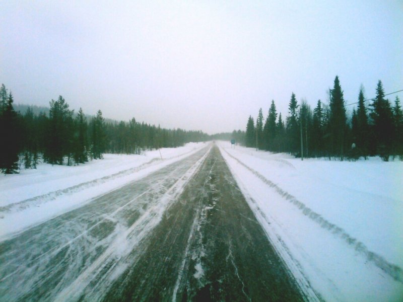
The long road
The scenery is not supposed to vary much during the next few hundred kilometres. We will keep you posted.
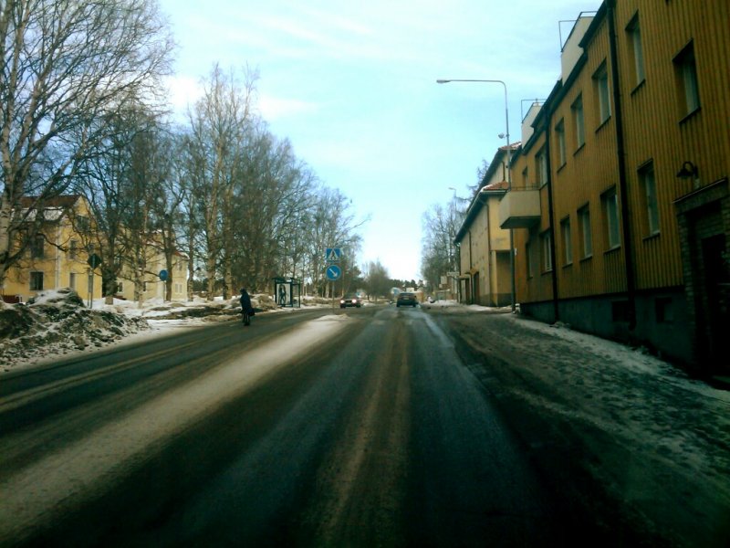
Mar-28-09 - 22:57
Kiruna
We arrived at Kiruna, the northernmost city of Sweden. Outside it is about -16°C, only slightly colder than inside the car. On the aerial view of the map you see the huge mining area.